
Synthetic Aperture Radar (SAR) is one of the most revolutionary technologies in remote sensing, enabling high-resolution imaging of the Earth's surface under any weather conditions, day or night. But who can we thanks for this incredible invention?
Let's dive into the fascinating history of SAR and the pioneers who made it a reality.
The Birth of SAR Technology
SAR was invented by Carl Wiley, an American engineer and physicist, in the early 1950s while he was working at Goodyear Aircraft Corporation, Wiley first described the concept of Synthetic Aperture Radar in a 1951 technical memorandum, setting the stage for decades of innovation.
What Was Wiley's Contribution?
Wiley's ground-breaking idea involved using the motion of an aircraft (or later, a satellite) to simulate a much larger antenna, or "aperture", than was physically possible to build. By processing radar signals over tie, SAR could achieve incredibly detailed images, even with a relatively small radar antenna.
The Role of Military Research
SAR's development was heavily influenced by military needs during the Cold War. The U.S. Air Force and defence contractors recognised its potential for reconnaissance and surveillance. Wiley's concepts were further refined through government-funded programs, leading to early prototypes and operational systems.
Key Milestones
The first operational SAR system was tested by the U.S. Air Force in the late 1950s.
In 1960, NASA launched TIROS-1, the first weather satellite, marking a step toward space-based remote sensing thought not yet with SAR.
In the 1970s, SAR technology became a cornerstone of Earth observation satellites.
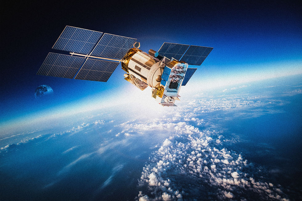
SAR's Evolution into Space
SAR's potential for Earth observation expanded dramatically with the launch of satellites like SEASAT in 1978, the first satellite equipped with a SAR system. SEASAT demonstrated how SAR could be used to monitor oceans, ice, and landforms, inspiring a new era of scientific applications.
SAR's Today: A Legacy of Innovation
The invention of SAR has profoundly impacted fields ranging from environmental monitoring to disaster response. Modern SAR satellites, like Sentinel-1, RADARSAT, and TerraSAR-X, owe their existence to Wiley's vision and the subsequent work of engineers and scientists who built on his foundational ideas.
Fun Fact: Carl Wiley not only invented SAR but also contributed to early work on solar sails - a concept for spacecraft propulsion using sunlight!
Why SAR Matters Today
SAR is indispensable in remote sensing, offering:
All Weather Imaging: Penetrates clouds, rain, and fog.
Day-and-Night Operation: Independent of sunlight.
Precision Monitoring: Tracks millimetre-level ground deformation, essential for infrastructure and natural disaster monitoring.

Celebrating SAR's Inventor
Carl Wiley's invention has shaped how we observe and understand our planet. From mapping ice sheets to detecting ground subsidence, SAR continues to unlock new frontiers in science and industry.
Want to learn more about SAR and its applications? Read this article next.
Comments